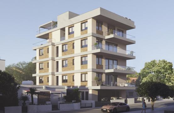
On 22 December 2025, the Cyprus Parliament approved six amendments to existing tax laws.
Geography
 Cyprus, the third largest Mediterranean island, after Sicily and Sardinia, lies at the crossroads between Europe, Asia and Africa, about 65 km south of Turkey, 100 km west of Syria, and 770 km southeast of mainland Greece. Its length from west to east is 225 km and from north to south - 100 km.
Geopolitically, the island is divided into four segments. The Republic of Cyprus (member of the EU since 2004), the only internationally recognized government, occupies the southern 60% of the island. The "Turkish Republic of Northern Cyprus", diplomatically recognized only by Turkey, occupies the northern one-third of the island, around 36% of the territory. The United Nations-controlled Green Line is a buffer zone that separates the two and it is about 4%. Lastly, two areas - Akrotiri and Dhekelia - located in the southern coast of the island (about 2.8%) remain under British sovereignty for military purposes.
Cyprus is geographically divided into six districts: Nicosia, Limassol, Larnaca, Paphos, Famagusta and Kyrenia. The last two, except for a small section of Famagusta, and some areas of Nicosia, occupied by Turkish troops since 1974. The capital of the island is Nicosia. Limassol is the second largest city and Limassol municipality is the most densely populated of Cyprus. The temporary capital of the free Famagusta area is the town of Paralimni.

Total area of the island is 9,251 km² of which 5,896 km² are under the control of the Republic of Cyprus and 3,355 km² are under the administration of the de facto Turkish Republic of Northern Cyprus.
Land: 9,241 km²
Water: 10 km²
Coastline: 648 km
The island is dominated by two mountain ranges, the Troodos Mountains and the Kyrenia Mountains, and the central plain, the Mesaoria, between them. The Troodos Mountains cover most of the southern and western parts of the island and account for roughly half its area. The narrow Kyrenia кange extends along the northern coastline and occupies substantially less area.
The Kyrenia range reaches a maximum of 1,024 m in elevation; the highest point in Troodos Mountains is Mount Olympus at 1,952 m.
 The Mesaoria plain extends from west to east of the island. Rivers are seasonal and only flow after heavy rain, and under those conditions the Pedieos is the longest river in Cyprus (approx. 100 km). It rises in the Troodos Mountains and meets the sea at Famagusta Bay.
Cyprus has over 100 dams and reservoirs, and all are the island's principal source of water for both agricultural and domestic use.
The island is characterised by a very diverse and evergreen vegetation. The plains are planted with olive, carob and a variety of citrus trees; pine, dwarf oak, cypress, and cedar forests cover Troodos Mountains; the slopes are extensively planted with vineyards.


